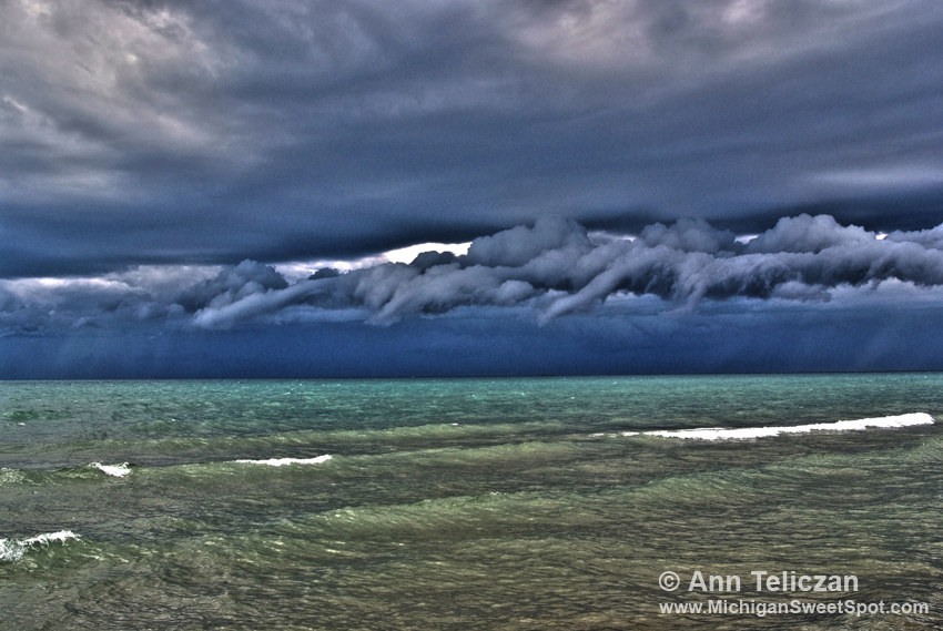
Here’s another photo of the storm that sprouted water spouts, as it roared on shore in Manistee.
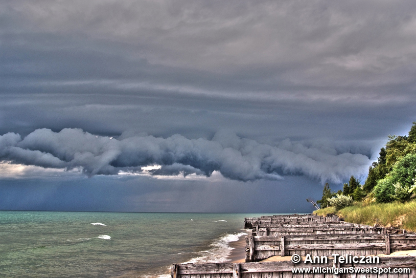
Water spouts over Lake Michigan were seen nearby right about the same time I took this photo. We ran up a flight of 80 stairs into our friends’ beach house on a 100′ bluff overlooking the lake. The storm hit right after we got inside. This is the second time I’ve seen a storm like this in the Manistee beach area.
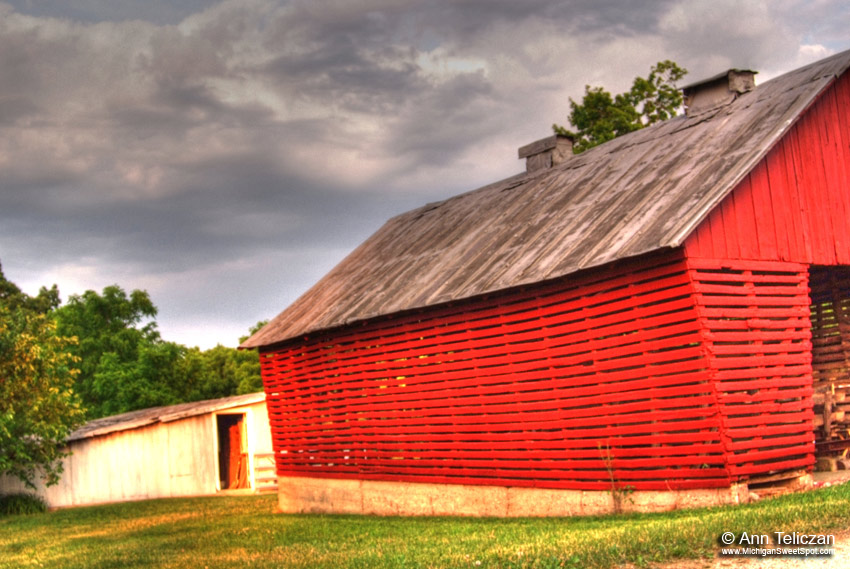
This corn crib is sitting right next to Awesome Historical Barn. The sky was incredible and it was almost dusk.
 There’s a nice little place for sailboat rides, it launches into this beautiful scene. There’s a little park here too.
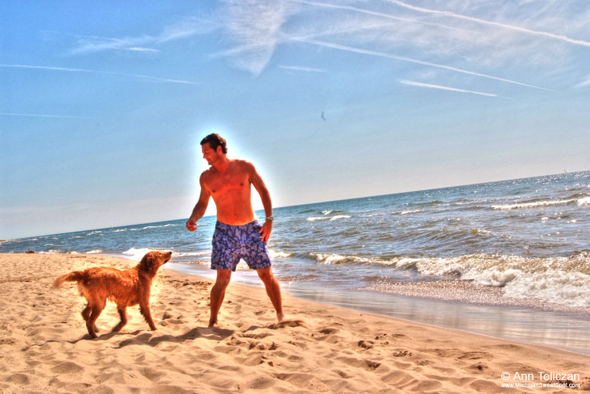
I just had to take a photo of this guy with his dog. They were having so much fun together. By the way, admission to Oval Beach in Saugatuck is only $5.00, unless you arrive after 5:00pm, then it’s free.
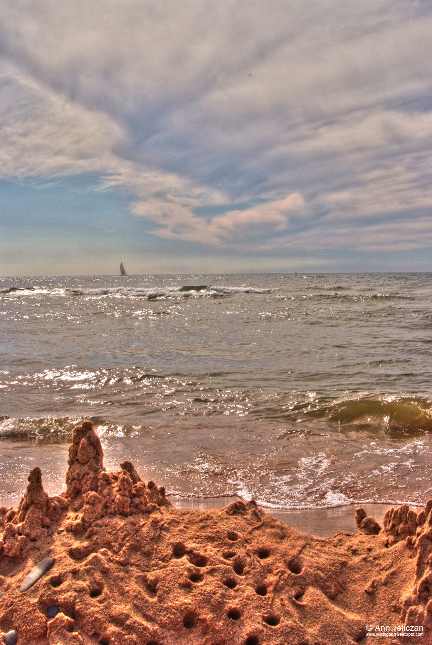 Even though it was on a holiday (July 3), Oval Beach in Saugatuck (click for Google map directions to Oval Beach in Saugatuck, MI) was relaxed and uncrowded. Plenty of time for building sandcastles and watching the sailboats breeze by.
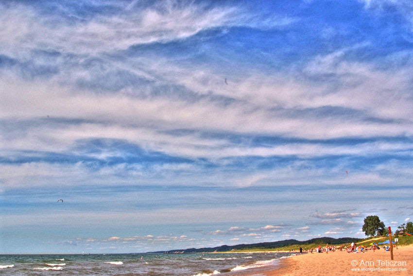 Oval Beach has been deemed by many experts as one of the top beaches in the country. But try to find it, a better name would be hidden beach! Hey, how about this, I’ll help. Here’s a Google map link to an address near the end of the street the beach is on. So what’s so great about it? Check out my pics and I’ll tell you. Here’s the scene looking out to the right if you are facing the beach from the parking lot.
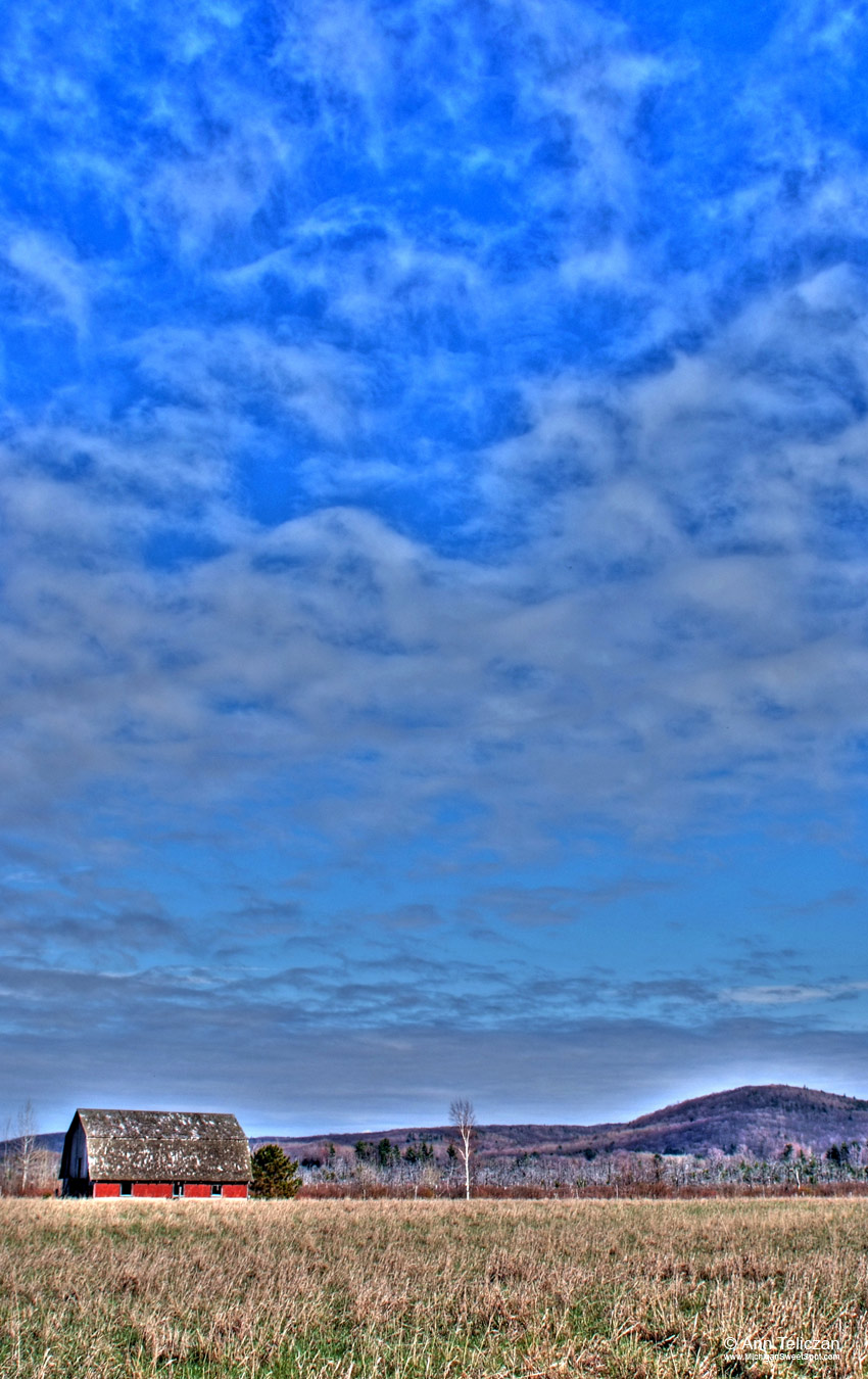 I was lucky I didn’t get into any wrecks when I first moved to Michigan. I was constantly distracted by the most beautiful skies I’ve ever seen in my life. This was taken in the early spring in the Leelanau peninsula along a little detour off M-22, just take the loop around South Port Oneida Road.
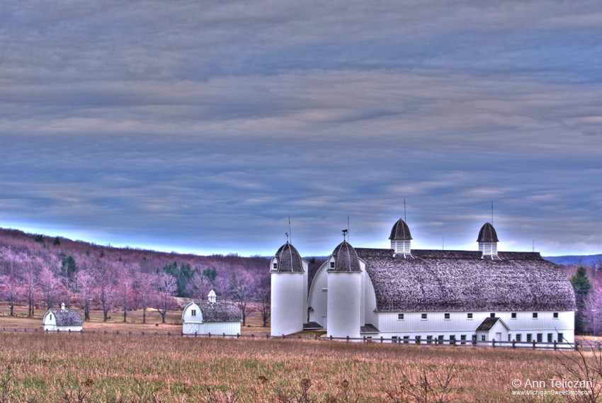 Okay, I just have to tell you about the Leelanau Peninsula! It’s beautiful in a rustic way that is untouched by commercialization. The Leeland area is brimming with beautiful scenery and quaint out of the way shops and lodging. I will be adding more photos and posts about this area over the next few days. This image is by the side of the road when driving through the loop on M-22.